
Your farm map.
Without the hard start.
Once your trial place is agreed, sign up and build your map. Do it yourself or ask us to help.
Find your farm
Search your address and select one or more LINZ land parcels.
Choose your aerial
Use the included LINZ imagery, or upload a drone aerial if you have one.
Make the map yours
Trace paddocks. Add gates, troughs, pipes, tanks and other useful features.
Publish and get going
Bring your team in and start using jobs, herd rotation and your shared farm knowledge.
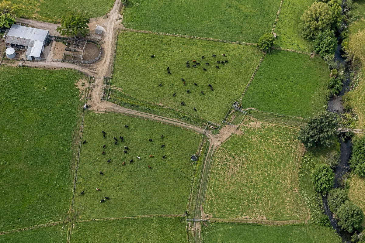
Your place, from the start.
Choose one or more land parcels. Start with included aerial imagery, then add your paddocks and farm features.
A little guidance.
Or a hand with the lot.
We’ll help with setup and getting Batten useful in your day-to-day work. Trial farms have email and direct phone support, with visits where practical.
You don’t need a drone map. If a local drone aerial would be useful, we can discuss whether one can be included.
More about mapping and aerials →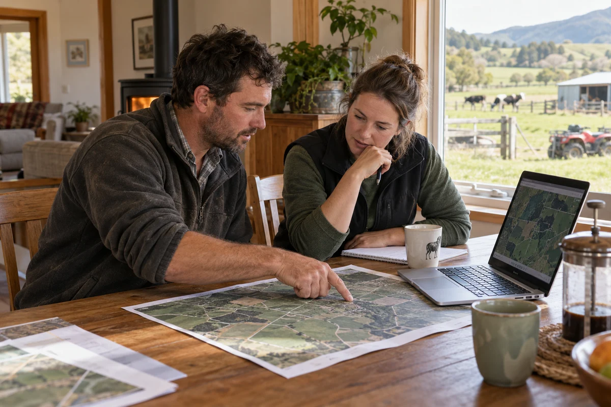
Try it on your farm.
Help shape what comes next.
Free for up to a year while you use it regularly and contribute feedback. Start with a phone call, then a demo or a local farm visit.